
Exceptional Hiking In Collingwood: 12 Easy, Medium & Hard Trails That Locals Love!
Prefer listening over reading? We got you covered!
Getting your Trinity Audio player ready... |
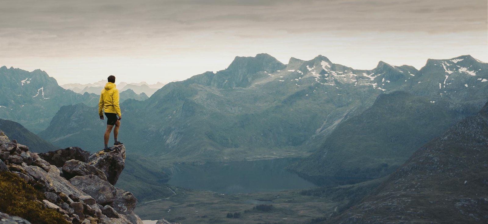
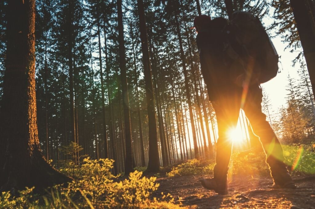
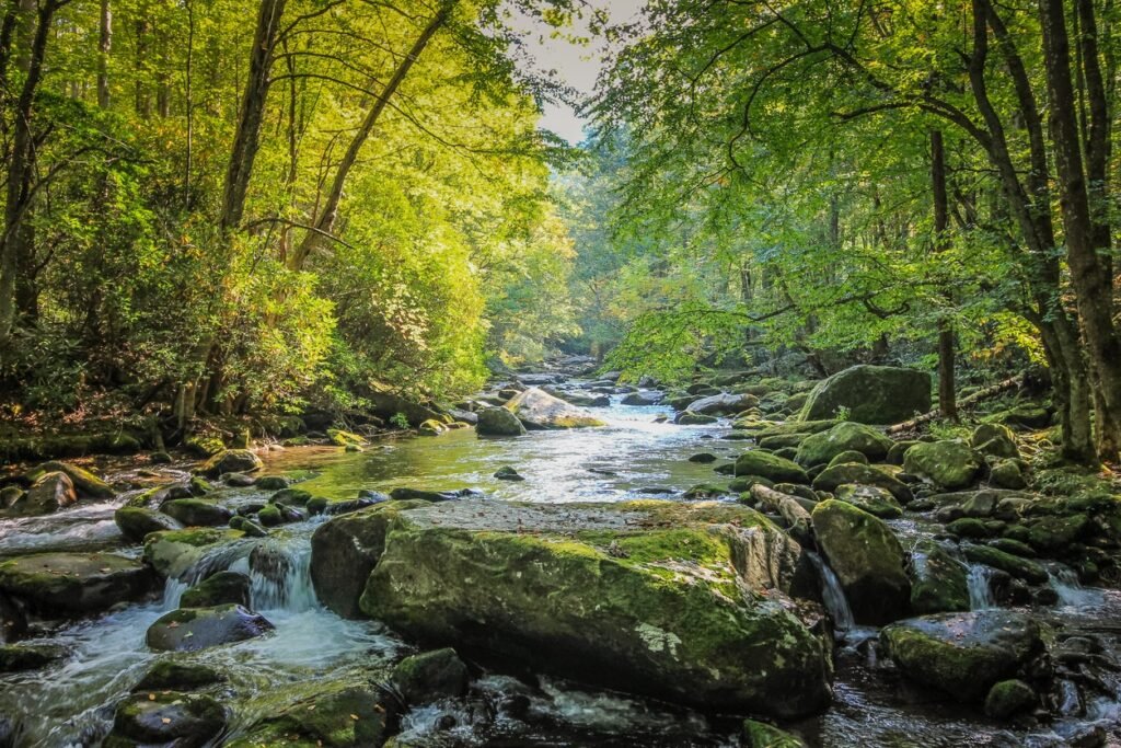
Whether you are an experienced and avid hiker or just beginning to build a fascination with outdoor adventures, Collingwood, Ontario is a place you need to put on your list. Each of our trails below will take you on an adventure of varying difficulty, but all of will provide you with a connection to nature and beautiful scenery.
As you hike, walk, bike, run or even snowshoe through these trails you’ll get to see breathtaking oceanside views, be taken deep into forest trails, run alongside rivers, and get the opportunity to take pictures from stunning lookout points.
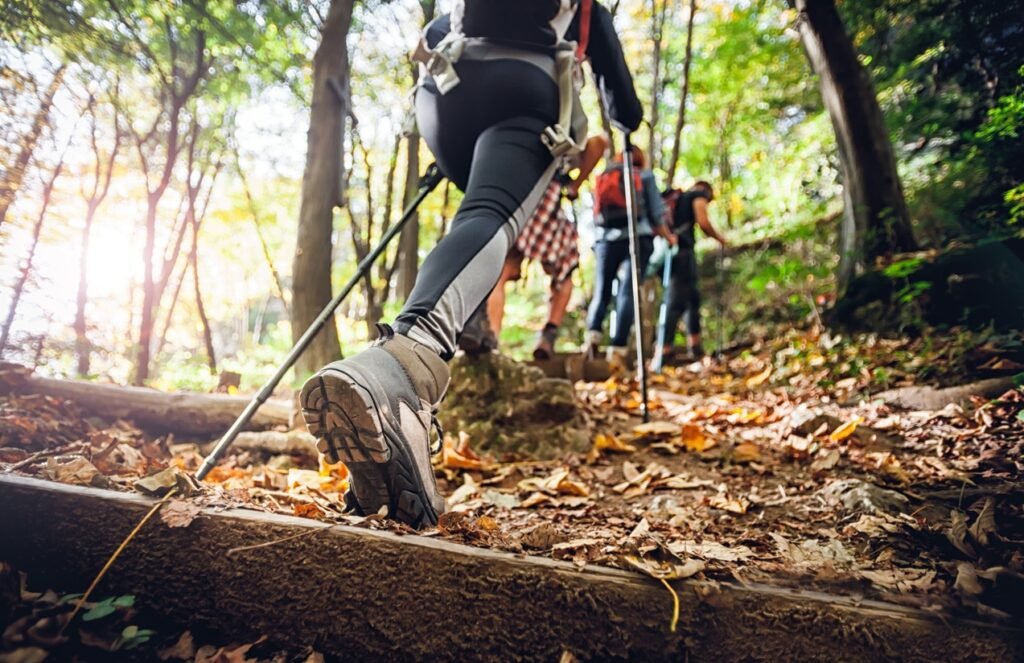
So, put on your best hiking shoes or boots, fill up your water bottles and start checking the below trails off your outdoor adventure list!
If you read about one of the below trails and decide you want to do it, then click on the heading for each trail. That will then take you to a trail map and/or more information!
Here’s some of the best Collingwood hiking trails, split into easy, moderate and hard difficulty. Enjoy!
Easy Collingwood Hiking Trails
1. Clearview Collingwood Train Trail
Clearview Collingwood Train Trail is an easy walking and hiking trail for anyone that is looking to get outdoors but without breaking too much of a sweat. Expect forest and river views, with wildflowers in spring and great colors in fall.
There aren’t any steep hills or rock climbing sections to worry about. Instead this Collingwood hiking trail offers calming and relaxing scenery throughout the entire trek. It is a great starting point for anyone of any skill level looking for a great long dog walk or a running trail. You can bring your dog with you, just make sure to keep your pup on a leash for the entirety of the trail.
This trail doesn’t tend to get too busy, especially when you’ve left Collingwood. However it is used by people biking so keep your eyes peeled! It ends in Stayner which has food and drink options as a nice reward.
Duration: 60-90 minutes
Distance: 8.7 miles
Start/End: Collingwood Museum Trail point, ends at Main Street in Stayner
2. Sunset Point Trail
Sunset Point Trail is a short but beautiful walking trail that will have you coming back time and time again no matter your skill level. As it takes you along the shoreline you will have views ofNottawasaga Bay throughout.
Whether you are looking for a quick and easy walk, or you are a skilled hiker and outside adventurer that just wants to take in some scenic water views, this trek provides for both. This is also a great trail for running.
If you’re lucky enough you might even get to see some aquatic animals like otters swimming close to the shoreline. Keep in mind that this Collingwood hiking trail is best used and traversed from April to October. That’s because during the winter months, this trail can become dangerous to use as it does become very windy and icy which could lead to bad slips and falls.
Duration: 30-60 minutes
Distance: 1.1 miles
Start/End: Sunset Point Trail off of St. Lawrence St. on the shoreline

3. Black Ash Trail
The Black Ash Trail sits on the opposite side of Collingwood from the other easy-rated trails on our list. This is another great walking and running trail that is open and accessible all year long for those who like to go outside for outdoor adventures in the snow during winter.
It follows the Black Ash Creek so you will have river views, and partially goes through Black Ash Park. It is a great trail to take the family and dogs on, and is an easy but fun excursion that won’t take up your entire day.
Duration: 40-60 minutes
Distance: 2.2 miles
Start/End: Georgian Trail near the Telus store, ends at the Black Ash Trail endpoint near High St
4. River Trail
The River Trail is another easy walking trail for anyone in Collingwood looking to get outside and enjoy some time under the sun on a brisk stroll with their dog.
The scenery does have some diversity from the other trails as it will lead you alongside the nicely-named Pretty River for the duration of your walk or run. It is open for use all year long, just make sure to snap on your snowshoes if you decide to hike this trail in the snowy winter months.
If you need a longer walk than what this offers, it is easy enough to hop from this trail onto another trail in the Collingwood area and turn it into a large looping trail for a longer distance and longer duration. It goes through Collingwood so can get busy, but that also makes it an extremely convenient trail too.
Duration: 30-90 minutes
Distance: 2.5 miles
Start/End: Pretty River Pkwy, River Trail, ends near Collins St
Moderate Collingwood Hiking Trails
1. Loree Forest
Loree Forest is the first looping hiking trail on our list of hiking trails in Collingwood. It is a heavily visited trail, so make sure you expect some crowds when visiting. Although if you do this trail very early in the morning you should have it to yourself.
Just because it is heavily trafficked doesn’t mean you should skip it though, because you would be missing out on beautiful forestry scenery with a gorgeous oceanic backdrop.
It’ll be an easy hike for anyone with a good level of fitness and the right footwear, and will take you to viewpoints looking out towards the Blue Mountains, and down across Georgian Bay. This is easily one of the most popular hiking trails in Collingwood.
It is open all year round and available to dogs on leashes so you and your furry best friend can enjoy the summer forest breezes and the breath-taking winter landscapes.
Duration: 60-90 minutes
Distance: 3.3 miles
Start/End: Loree Forest Trailhead at 21st Sideroad

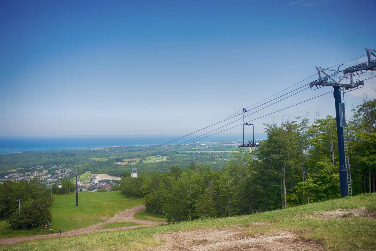
2. Georgian Trail
The Georgian Trail is more of a challenging trek as far as distance is concerned and is therefore rated as a moderate hiking trail in Collingwood. The Georgian Trail is actually 21 miles in length, but is well worth every single mile as it will take you along the shoreline the entire time!
It offers a great mixture of serene forest scenery to one side, and the calming shoreline of the ocean to the other. This trail is great for long walks involving deep thinking and self-reflection, or running, biking, and even bird watching.
There’s lots of side trails to explore, parks, boardwalks along the shore, and even bars and restaurants to visit in the towns that appear alongside this 21 mile trail. The actual walking is quite easy – albeit long – which means this can be a wonderful family day out too.
Duration: 4-7 hours (depending on pace)
Distance: 21 miles
Start/End: Maple St N in Collingwood, ends at Bridge St/Denmark St in Meaford
3. Bruce Trail: Beaver Valley Loop
Bruce Trail: Beaver Valley Loop offers a good variety of outdoor adventures for skilled hikers, beginners, and families looking for a way to spend a weekend day. Expect trekking through gorgeous forest, by a lovely river, and wonderful views across to Georgian Bay. We rate it as moderate as the elevation changes frequently throughout, and when there’s snow or rain it can be a tough hike.
It is technically open all year long but the best months for use are from June to September. During the winter months, the trail can become icy and flooded in some sections.
If you do decide this is a trail you absolutely need to hike during the winter months make sure to dress for extreme winter weather. Have water-resistant clothes/boots for when you have to wade through any flooded areas.
This rugged Collingwood hiking trail can be a little difficult, but the reward are some of the best views across Georgian Bay that you could hope for.
Duration: 3-5 hours
Distance: 8.1 miles
Start/End: Bruce Trailhead at Maple Ln
4. Nottawasaga Bluffs Loop
Nottawasaga Bluffs Loop is a trail you simply must hike. This loop trail can be found within the wonderful Nottawasaga Bluffs Conservation Area just outside of Collingwood.
This loop is probably our favorite hiking trail in Collingwood, as it will take through rocky bluffs and forest trails and make you feel as if you are living in a wild and breath-taking fantasy world. You’ll find old ruins where pioneers toiled the forest and land, and many side trails that take you off into this 400-acre conservation area.
Plan on spending more time here than just the time spent hiking, because there are plenty of caves to explore and rocks to climb!
Duration: 30-90 minutes (for the hike, without exploring)
Distance: 2.5 miles
Start/End: Nottawasaga Parking
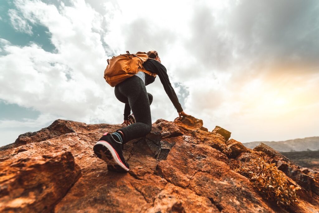
Hard Collingwood Hiking Trails
1. Duncan Escarpment
Duncan Escarpment is a hiking trail that can be found in the Duncan Escarpment Provincial Park. It is a great looping trail that will take you through a forest full of cliffs, crevices, and caves to explore.
Its difficulty is rated as hard due to those cliffs, crevices, and caves, as they create areas of uncertain terrain should you decide to go off the trail to go spelunking and exploring.
Keep an eye on your footing as you move through the trail. Follow the markers and you’ll be fine as you find yourself with plenty of lookouts and areas to explore.
Duration: 2-5 hours (depending on exploration time)
Distance: 6.5 miles
Start/End: Bruce Trail Parking
2. Singhampton Caves Trail
Singhampton Caves Trail is a beautiful loop that can be just a simple in and around hiking trail, but when you take into consideration the potential for spelunking through caves and crevices, it can add some exciting challenges. Expect panoramic forest views, lots of exploration opportunities, and gorgeous colors in fall.
This trail should be considered a moderate hiking trail in the summer, but a hard trail during the winter due to the potential for snow levels to build up. The trails, caves, and crevices can become icy and dangerous to hike on during winter too. So it’s best to use the “when in doubt” mindset – if you think you might slip and fall through a crevice or cave then don’t try it!
Regardless of which season, make sure you bring the proper gear such as snowshoes or slip-resistant hiking boots. You can bring your dog with you on your spelunking adventures, but as always, make sure they are on their leash the entire hike.
Duration: 1-3 hours (depending on exploration time)
Distance: 1.3 miles
Start/End: Singhampton Caves Trailhead parking on Eagle Cr
3. Blue to Alpine: Winter Loop
Blue to Alpine: Winter Loop is a combination of different trails that connect at certain marker points to create a fantastic but difficult hiking loop. You will come across several lookout points but also changes in the terrain as you go from trail to trail. This is mainly a winter trail, so strap on your snoeshows and get ready for panoramic views across the ocean and snow-capped forests.
If you do wish to hike it in the summer months, make sure to wear clothes and hiking boots that can cover the majority of your legs as the trails can become overgrown with poison ivy during those months. There are a couple of different terrain changes that go from steep hikes to a flat surface to downhill to steep hikes and back around. So it’s a trail that will keep you busy.
Other than the terrain changes, the difficulty in this trail is keeping an eye out on the map for when it’s time to change trails to complete the loop.
Duration: 3-4 hours
Distance: 6.3 miles
Start/End: Blue to Alpine: Winter Loop parking off of Nipissing Cr

4. Standing Rock and Caves Side Trail
Standing Rock and Caves Side Trail is a very short hike that is technically part of the Nottawasaga Trail and Lookout Provincial Nature Reserve. But we decided to add it to our list as its own separate trail within the hard-rated trails.
That’s because this little side trail is not one you want to miss out on. While difficult, it is one that is worth bringing the whole family along for. It is full of additional crevices to squeeze through and rocks to climb up. As long as it’s done safely, this side hiking trail will give you fun pictures of your kids climbing up rocks with their best adventurer’s smile.
Nottawasaga Trail and Conservation Area is also packed with all sorts of different side trails. So this area might be a hiking trip you can plan an entire day around. Then you’ll have more than enough time to scramble up rocks and go spelunking through caves and crevices all day long.
Duration: 30 minutes to multiple hours depending on how long you stay in in the Nottawasaga Trail area
Distance: 0.4 miles for Standing Rock and Caves Side Trail
Start/End: Standing Rock and Caves Side Trail marker, the intersecting point at Bruce Trail; ends at Blue Mountains Section