
Hiking In The Dominican Republic: Finding Trails & Hiking Pico Duarte
Prefer listening over reading? We got you covered!
Getting your Trinity Audio player ready... |
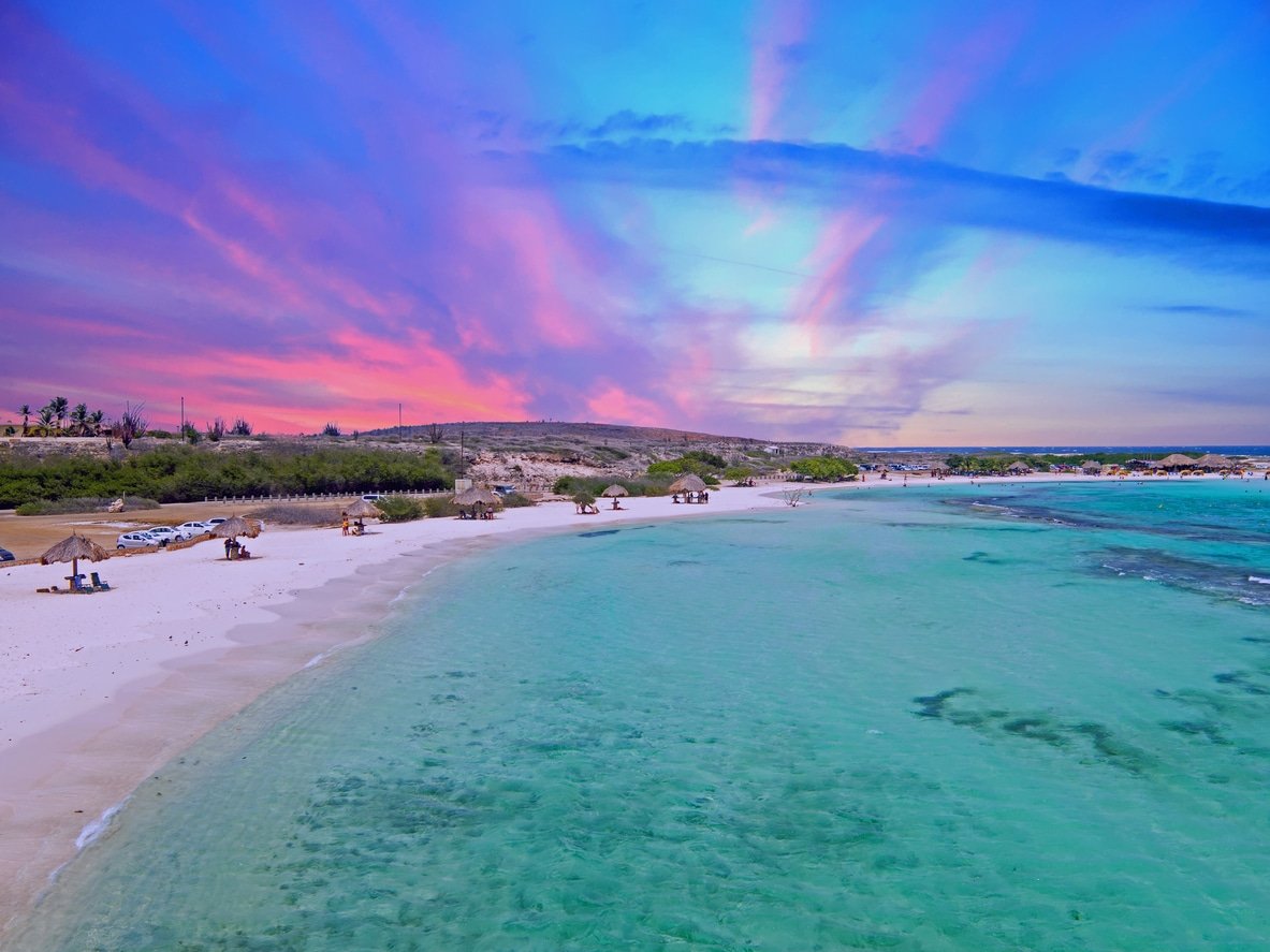
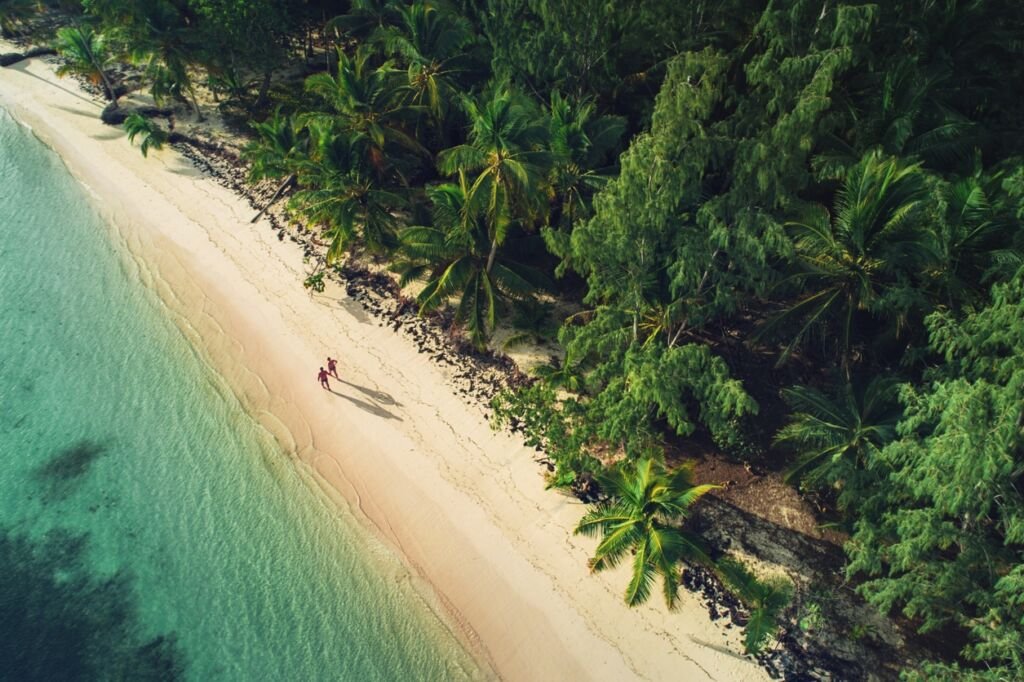
When hearing ‘Dominican Republic’, hiking doesn’t initially come to mind. For most, it’s images of all-inclusive resorts, radiant sun, beautiful blue beaches and fine white sand. For others, maybe it’s merengue and bachata (traditional music genres). But we should foster another image – that of hiking in the Dominican Republic.
The Dominican Republic is situated in the Caribbean Sea and shares the “Hispaniola Island” with Haiti. It’s the second largest island in the Greater Antilles after Cuba and has almost 800 miles of coastline making this a paradise for adventurous tourists.
Indeed, there is so much to explore here for anyone who is eager to throw themselves into an adventure.
And if visiting the Caribbean is on your bucket list – and you love hiking – then the Dominican Republic is perfect for you.
Recommended: Safety Tips Every Tourist In The Dominican Republic Needs
Hiking In The Dominican Republic: Trails & Mountain Ranges
Over the last 15 years the interest in hiking in the Dominican Republic has really grown. So much so, that hiking excursions run around the country between the months of December to April. These trips usually last three to five days, with the aim of hiking to the highest point of whatever mountain that trip is geared towards.
The hikes mainly take place in nature reserves which have various forest ranger points visible along the way.
In fact the nature reserves are fantastic places to hike, either by yourself or with a group. The reserves and their walking routes are well signposted, and there are often rest points along the designated trails. You can also find hundreds of species of birds, many endemic to the country, while walking around the reserves. A cheap compact book to help identify them – like this one – would be ideal to bring with you.
There are 29 national parks and protected areas in the Dominican Republic, all with their own charm and natural sights to explore. You can find out where those are – and which one may be the closest for you to visit – by clicking here. The forest rangers in each national park or protected area are usually very friendly, and are happy to tell tourists about fantastic walking trails to try out.
This map also shows where the national parks are in relation to the rest of the country. While this National Geographic one is far more detailed, and can help pinpoint routes and places to hike.
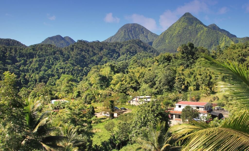
There are also three mountain ranges in the Dominican Republic which are perfect for hiking.
“Cordillera Central” where the highest peak “Pico Duarte” is located.
“Cordillera Septentrional” with its highest point called “Diego de Ocampo Peak”.
And “Cordillera Oriental” with “Sierra de Bahoruco and Sierra de Neiba” in the southeast region.
All three mountain ranges have a variety of hiking trails that traverse a stunning landscape of lush green forest, long valleys, waterfalls and rivers.
In fact Pico Duarte located on the main mountain range Cordillera Central in the José Armando Bermúdez National Park is the highest peak in the West Indies with an elevation of 3,087 meters above sea level. There are several routes to hike on Pico Duarte, and it’s where we recommend hiking when visiting this stunning Caribbean paradise. Below we explain how!
There are other peaks in the region worth going to as well. Such as La Pelona at 3,085 meters and La Rusilla at 3,030 meters above sea level. They both offer excellent hiking trails that are arguably some of the best in the Caribbean.
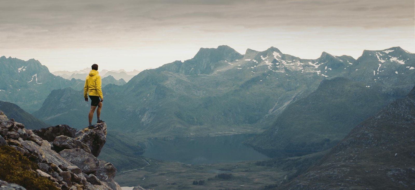
Hiking Pico Duarte: An Adventure You’ll Never Forget!
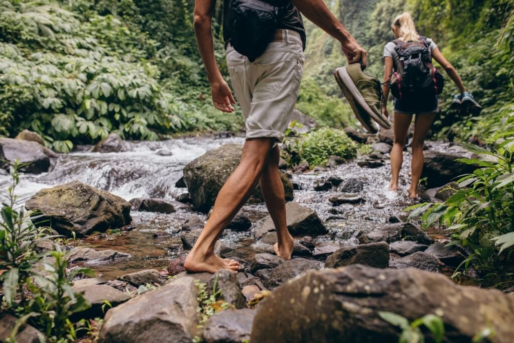
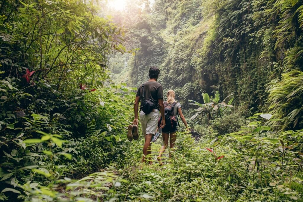
If you want to hike Pico Duarte there are five routes to choose from. Two of them are situated around water sources and are mainly green valleys with stunning views. The other three are dry paths that are far more challenging, and have fewer waterfalls and rivers along them.
All paths tend to be safe but it’s best to go with a guide – which we recommend as the hikes can take 3-5 days – as they know the hiking trails in the Dominican Republic inside out.
A good level of fitness is required to navigate these gorgeous routes. Comfortable clothes, hiking shoes or sport shoes for long walks are needed, and a raincoat could also be useful as it rains often.
If doing a hiking excursion with a group – such as this one – prepare to start before the sun rises. A bus will take hikers to the town nearest to the selected hiking route, and horses are often used to help hiking guides with carrying equipment (food, camping tents, sleeping sacks etc..) along the way.
The shortest route to hike Pico Duarte, and our recommended route, is ‘La Cienega’. This route is around 23 km long from the base to the top of the peak.
It’s best to start walking at sunrise, before reaching the first rest point “Los Tablones”, situated 1,278 meters up, and 8 to 10 kilometers from the starting point.
It is an easy walk just to warm up for what is coming, as the hiking gets more serious. Don’t expect a phone signal after this first rest stop, and the temperature will get a little chillier.
Warm clothes therefore are a must, such as gloves, hat, and a jacket. Like many of the hiking routes in the Dominican Republic there can be fog when you ascend into the clouds – but the view you get as the sun breaks through is amazing.
Incredible views, beautiful greenery and breathtaking views of the valleys, will make you feel like the hike and the challenge was well worth it.
The second main stop on La Cienega is “La Cotorra” at 1,720 meters, which involves more difficult hiking and gives a walker a good test before the real ascent begins.
That ascent is the route towards “La Laguna”, a stop at 1,980 meters with beautiful water springs.
Next comes “El Cruce” at 2,180 meters, and after this stop is what locals call “La Loma del arrepentimiento” (Hill of Regret) an ascent that is challenging but one that feels great to overcome.
“Agüita Fría” at 2,650 meters is the next key point on the route and one of the highest spots which hikers should reach on the first day of their walk. It’s here that two of the main rivers in the Dominican Republic are born (Yaque del Norte and Yaque del Sur).
Afterwards there is a descent called “La Vela” (the candle) which will take approximately one hour, before hikers then reach “La Compartición” at 2,450 meters.
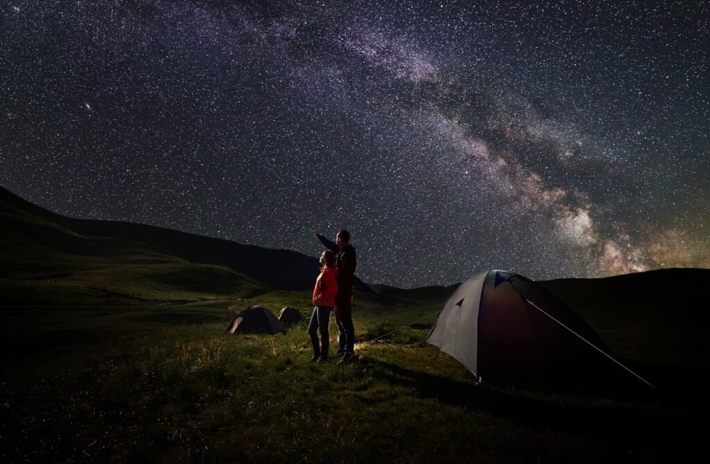
This is where most excursions set up camp for the night. Here dinner will be served and walkers and hikers will socialize with each other under a night sky full of stars, with the sound of crickets chirping around them.
The next day before the sun rises get ready to face the biggest challenge but also the most rewarding part of the hike since the top of the peak awaits you. After breakfast and all the morning rituals, first stop is “Valle de Lili” at 2,950 meters. From there the last trail is taken, 30 minutes of walking up and you reach the top of the peak “Pico Duarte” – 3,087 meters above sea level!
At the top of the peak is the statue of Juan Pablo Duarte (Liberator of the Dominican Republic) who is often referred to as the father of the country. Enjoy the views, and relax – you’re one of just 3000 people who get to see the view from the summit of this mountain per year!
Recommended For Your Trip To The Dominican Republic


*This article may contain affiliate links which allows Wandering our World to make a small commission on any sales made – and keep the coffee flowing! It involves no extra cost to yourself. As an Amazon Associate we earn from qualifying purchases, but only recommend products we believe in.